John Ferguson, Tilhill’s First Commercial Drone Pilot
Here’s what Tilhill Forestry Manager, John Ferguson (Wales & The Marches, Bala) had to say about passing his test to become a commercial drone pilot:
“I expect that drone use will become a norm in the not too distant future”
What led you to become a drone pilot and what are the benefits?
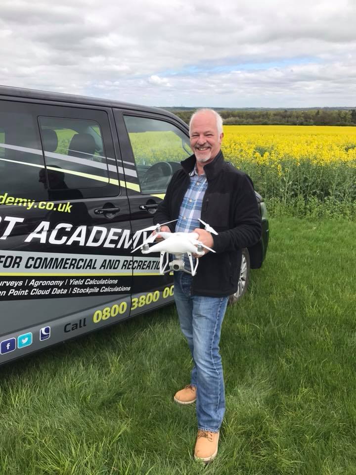
We’ve been looking into the use of drones for almost three years now and how they can help us within forest management.
Initially we hired a contract drone operator to fly some sites to discover what information they could provide for mapping, wildlife locations (nesting birds in particular) and also video footage.
The company’s initial thoughts were to continue with contract hire but this was very expensive and weather conditions on the hire day can often result in being unable to fly.
As managers we wanted to “pop up” and take a look at what is going on within the crop where potential issues cannot be seen from the ground. This includes crop health, heather check, the extent of wind damage, checking for diffuse pollution and much more.
As ever, technology has moved on quite rapidly since our initial trial and the cost of drones have dropped in price and size, while photo and video footage quality has improved substantially.
What training was involved and how did you prepare?
I attended a three day course which consisted of both theory and flight training in the field, followed by a written exam with 75% being the minimum pass rate. Following the successful completion of the written exam you are then assessed flying the drone along with all associated paperwork and checks required to be completed before flying. Safety is the key to all the training and follow on operation, as acting irresponsibly could lead to a mid- air collision or hitting someone on the ground with tragic circumstances.
How does drone use assist in your forestry work?
As an example, drones have the capability of producing infra–red information of a site showing soil temperatures which in turn can show where water-logging may be an issue. This information, in conjunction with the appropriate GIS mapping system, can then assist in planning decisions prior to harvesting, planting or restocking. Technology usable in conjunction with drones is expanding and improving all the time.
What opportunities will arise for yourself and Tilhill?
Tilhill are now in a position to be able to offer this service to our clients.
What developments do you see happening with the use of drones in the next 10 years?
I expect that drone use will become a norm in the not too distant future as aspects of use are developing all the time.
John ferguson is a Senior Forest Manager in Wales & Marches, Bala office.
For more information contact Wales & Marches Tel: 01550 721442 or email: wales@tilhill.com or contact us below: