Scottish Forestry (SF) has launched a new web portal that provides access to a huge volume of information that will be helpful to foresters, land managers, developers, teachers, students, researchers and anyone with an interest in how Scotland’s land is managed.
The Open Data hub, developed as part of SF’s Improvement Programme, is easy to use and clearly laid out and offers 70 geospatial data sets.
David Signorini, Scottish Forestry Chief Executive said;
“This is one of Scottish Forestry’s first big milestones in our Improvement Programme. Our team has put in a sterling effort to bring this project to life and I think everyone who needs to access this information will find the new website a great help.
“The principles of open information have been behind the design at every step of the way so the portal is easy to find, read and use. As well as making life simpler for land managers, these qualities make it attractive for non-professionals, too, with links to Scottish Forestry’s Map Viewer and Scotland’s Environment Land Information Search helping to paint a comprehensive picture of Scotland’s landscape.”
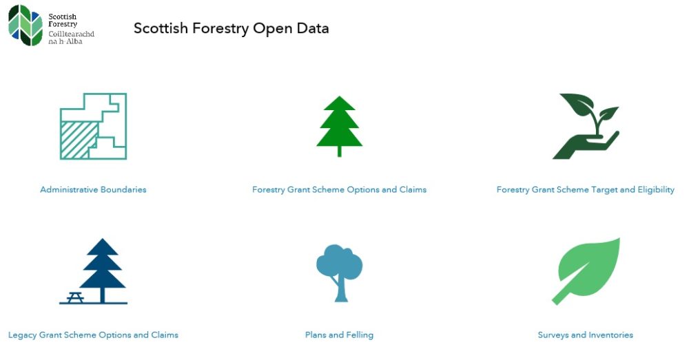
The data, which is downloadable for use in Geographic Information Systems (GIS), covers areas such as administrative boundaries, Forestry Grant Scheme options and claims, Forestry Grant Scheme target and eligibility areas, plans and felling, and a range of surveys and inventories.
Data sets accessible via the portal include:
Native Woodland Survey of Scotland – a woodland map showing type, extent and condition of all native woodlands and nearly native woodlands in Scotland.
• FGS Woodland Creation Options – areas approved for Woodland Creation with a view to supporting the creation of new woodland that will bring economic, environmental and social benefits.
- FGS Climatic Site Suitability – check the climatic suitability of the chosen tree species for your site to ensure that it is appropriate. .
- FGS Eligibility Native Woodland Habitat Network – This dataset provides an Integrated Habitat Network (IHN) for native woodlands in Scotland.
The new site includes links to a range of other useful applications; - Scottish Forestry Map Viewer – explore and discover information about Scotland’s woodlands and forests.
- Scotland’s Environment Land Information Search – Identify the presence and location of a range of features and environmentally sensitive areas that fall directly within your area of interest.