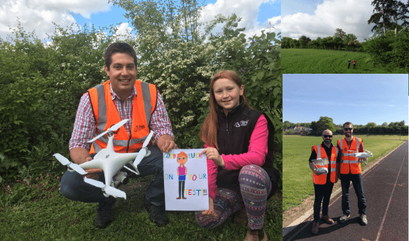
Senior Forest Manager Tim Frost from our North & Central England District achieved his commercial drone pilot licence from the Drone Pilot Academy in Milton Keynes on Friday 10th May and was subsequently joined by Harvesting Contracts Manager Paul Mathieson and North Highland Senior Forest Manager Duncan Scott who completed their tests on Tuesday 14th May.
They each passed their flight tests with flying colours, with Tim Frost celebrating achieving full marks.
Tim said: “I am thrilled to have become a fully licensed commercial drone pilot, the first in the company from England. This means we can bring the service in-house in order to improve efficiencies and help produce fully up-to-date woodland management plans which will aid our clients considerably.”
Tim was the fourth Tilhill Forestry employee to receive his licence following Wales & Marches Senior Forest Manager John Ferguson, North Highland District Manager Julian Hollingdale and Wales & Marches Forest Manager Alan Wilson’s training and completion in 2018. With the recent addition of Tim, Paul and Duncan, Tilhill Forestry now has six fully licensed commercial drone pilots.
Harvesting Contracts Manager, Paul Mathieson said:
“I think this is a real step forward for the company to be encouraging the use of drone technology to carry out our work. In my role as contracts manager, I will be able to use the drone to assess standing sales and produce up to date aerial photos, this will allow us to make better crop assessments and more accurate pricing decisions. In addition to this the drone can be used to locate the harvester/forwarder and work out the safest and most efficient route to walk on site.
I find the technology and the capabilities of the drone amazing and I am glad to be given the opportunity to gain this qualification and be part of the future of forestry using drones.”
With the utilisation of up to the minute imagery via the use of drones, the latest in UAV technology and the latest cloud-based mapping software Tilhill Forestry is pleased to offer a range of services to help their clients manage their farm, estate or property using up to the minute imagery. Our CAA approved team can carry out aerial photography, mapping and filming forest properties across the UK aiding in aerial mapping and measuring, tree and crop health condition surveys, windblow assessments, site and forest operation surveys and forest acquisition surveys.