
Thank you for your interest in this new woodland creation project at Langburn, which aims to sequester carbon, increase biodiversity for wildlife, and to create a new native broadleaved priority habitat.
What is Langburn woodland creation?
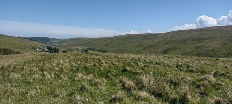
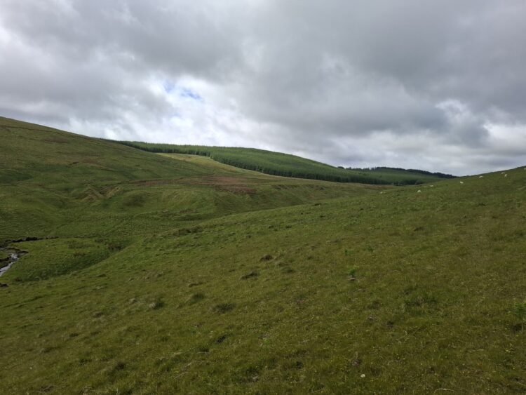
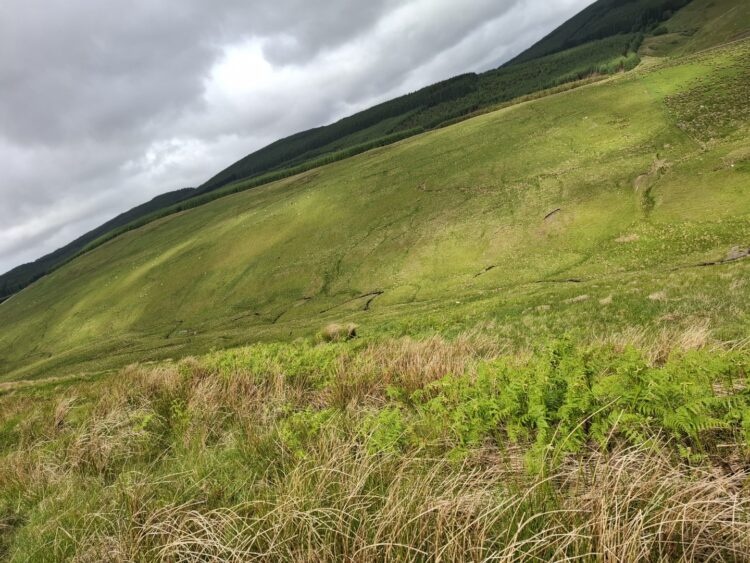
Tilhill has created a woodland creation design on behalf of our client, whose objectives for this woodland are to sequester carbon and to improve local biodiversity through careful design of riparian buffers and native woodland. The proposed scheme will enhance the area’s rural character by incorporating native broadleaves and Scots pine element to create a more natural transition that softens the edge of the existing neighbouring evergreen conifer forests.
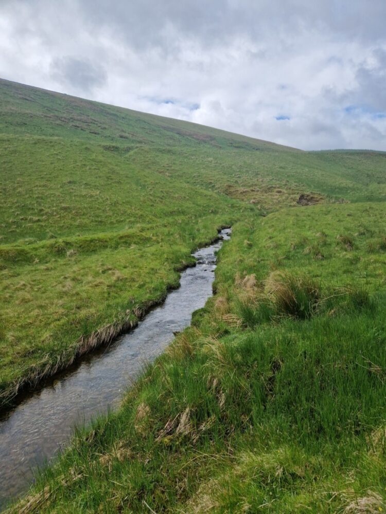
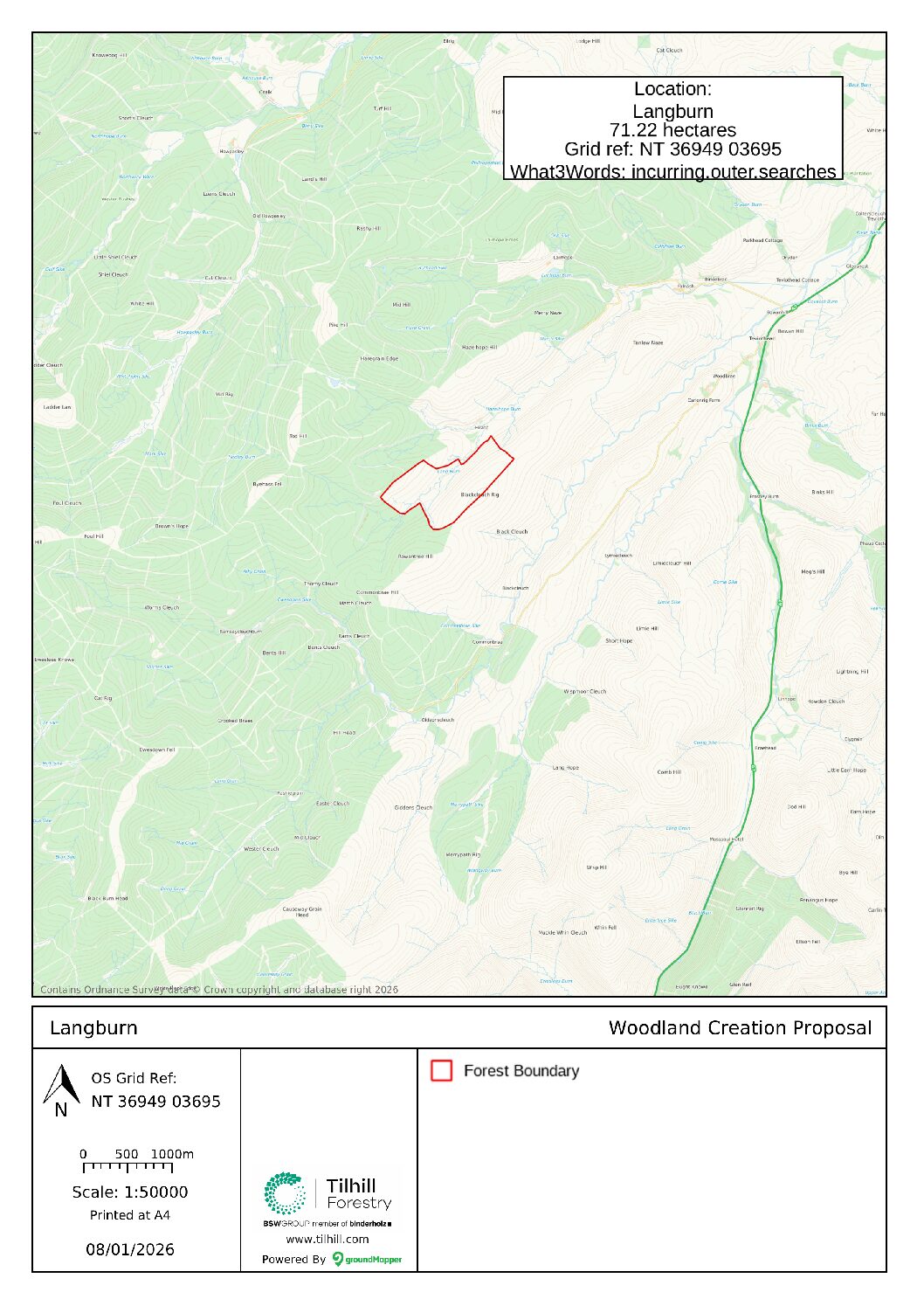
The woodland creation project at Langburn, which is located 3.5 miles south of Teviothead, will see the planting of approximately 38 hectares creating a new native woodland.
The information below represents completed, ongoing and future operations as part of the woodland creation proposal. Please note that any future dates are subject to change.
Project initiation – Autumn 2021
Surveys – Autumn 2023 to Winter 2025
Ground preparation – Autumn 2026
Fencing – Autumn 2026
Tree planting – Autumn/winter 2026
Scroll down to find out more about Langburn woodland creation proposal and to view the Concept Map.
Maps and Letter to Neighbours
Find out more about the Langburn Woodland Creation Plan
How many trees will be planted?
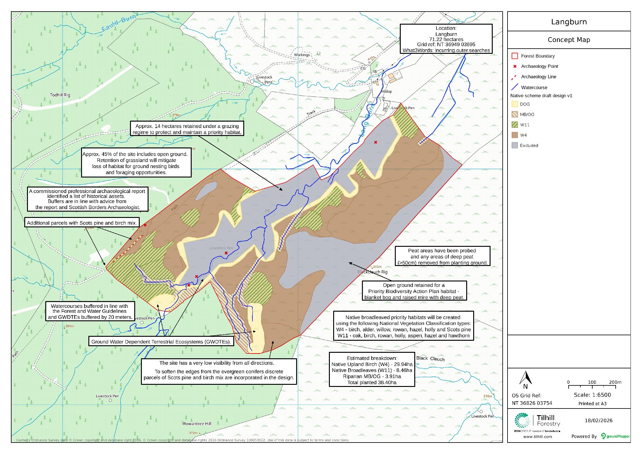
The overall area for this woodland creation is 71.22 Hectares (Ha) of which over a half (53%) will be planted with trees, resulting in approximately 60,000 trees being planted.
What species mix? And why?
Species as per the concept map have been selected based on site suitability criteria. This includes but it is not limited to, climatic conditions, topography and soil types.
Where suitable species have also been selected to support local wildlife. In this instance, broadleaves with buds such as willow and birch provide food early in season and seed-bearing species in summer. Shrubs such as hawthorn and rowan also provide a food source late in the season.
Up to 5% of the species mix will include Scots pine due to its special significance in Scotland. Additional parcels of Scots pine and birch mix, as identified on the concept map, will help to soften the edges from neighbouring evergreen conifers.
How much carbon will be sequestered throughout this project?
Across the 38 hectares of proposed planting, the woodland is expected to capture 15,247 tonnes CO2e over the next 100 years and the project is expected to be issued with 12,198 PIUs by the Woodland Carbon Code.
Are there any private water supplies (PWS)?
No PWS or their catchment have been identified at Langburn.
Will there be public access?
In Scotland, the Land Reform (Scotland) Act 2003 establishes a statutory right of responsible non-motorised access for recreational and other purposes to land and inland water. Therefore, responsible public access is permitted throughout the forest in accordance with the Scottish Outdoor Access Code.
However, due to the isolated location of the site no formal public footpaths are planned.
Deer management
A Deer Management Plan is a formal requirement for a Woodland Creation Plan. This management plan considers a list of factors such as, but not limited to, structure of woodland, species planted, land ownership patterns and ecological sensitivities. Co-operation with neighbouring farmland, forests and local Deer Management Groups are essential in the development of a sustainable deer management plan.
Planting on peat
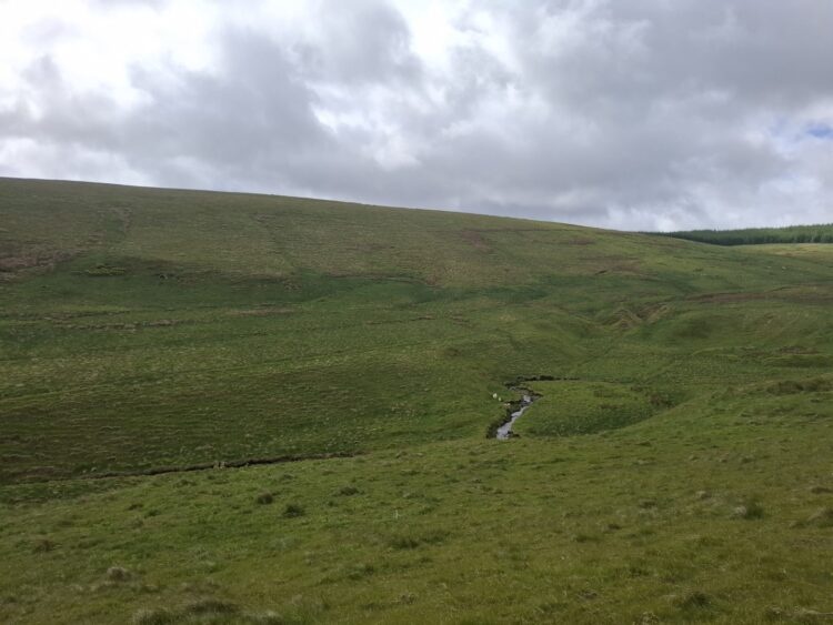
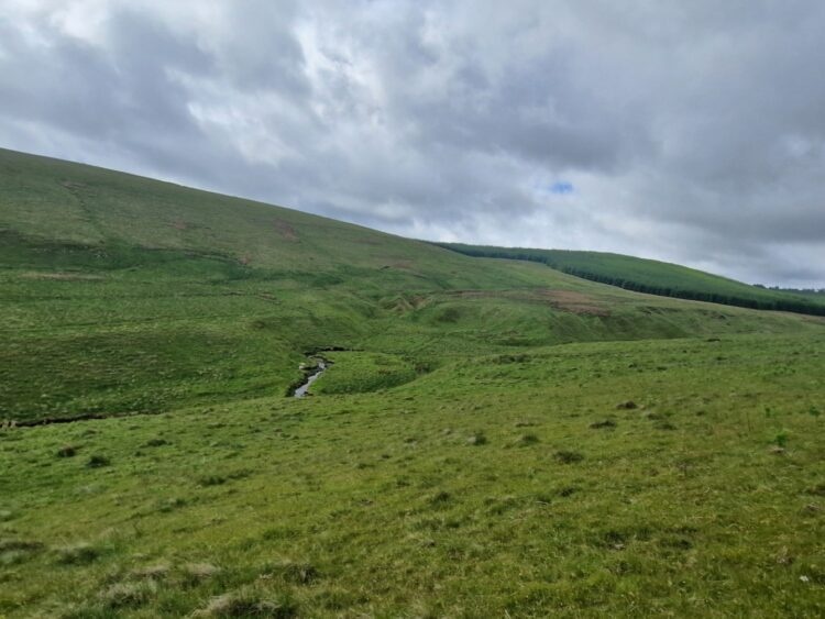
As part of the woodland creation proposal a deep peat survey has been conducted. Any areas identified as deep peat (>50cm) are excluded from planting and remain as open ground. Our methods follow the UK Forestry Standard 5th Edition mandating that new forests will not be established on peat exceeding 50cm in depth or on sites where it would compromise hydrology of adjacent bog or wetland habitat.
Effects on agricultural industry
In Scotland a Woodland Expansion Advisory Group (WEAG) has been established with the purpose of providing advice on which type of land is best for tree planting and potential mitigation measures. As part of the woodland creation proposal the land has been assessed against the ‘James Hutton Institute – Land Capability for Agriculture’ classification (LCA), which is used to rank land based on its potential productivity and cropping flexibility.
The assessment of LCA on site did not meet the indicative threshold set by the WEAG – no further action is required. However, to protect a priority habitat at Langburn approximately 14ha of the land will be retained under a grazing regime.
We would like to invite you to take part in this woodland creation consultation through the form below.
Alternatively, you can also submit comments to your local Tilhill Forest Manager whose details are provided in your scoping invitation letter.