This website uses cookies so that we can provide you with the best user experience possible. Cookie information is stored in your browser and performs functions such as recognising you when you return to our website and helping our team to understand which sections of the website you find most interesting and useful.
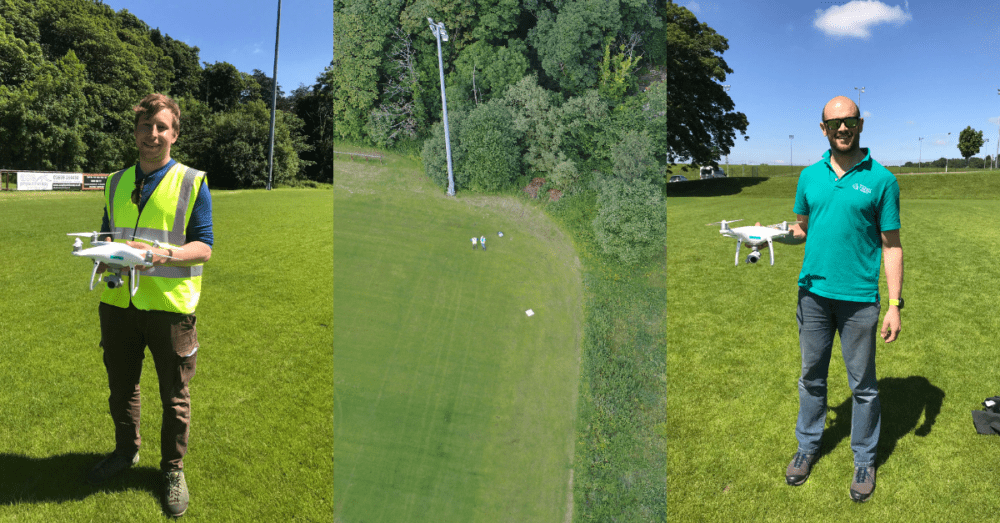
Central Scotland District Forest Manager Rob Cleaver and Assistant Forest Manager Jamie Adcock completed their Civil Aviation Authority (CAA) Permission for Commercial Operations (PfCO) drone course in Motherwell, North Lanarkshire last week with the Drone Pilot Academy.
With Rob and Jamie fully licensed, the company now boasts eight fully licensed drone pilots across the country.
Forest Manager Rob said: “Completing the CAA PfCO drone course enables us to provide a greater variety of services to our clients, as well as making our day to day work more efficient. I’m looking forward to working with up-to-date high-resolution aerial maps and being able to assist my colleagues too. The course, run by the Drone Pilot Academy, was excellent and provides you with all of the knowledge and support to make a difference to your business. It was a very enjoyable and informative course.”
With the utilisation of up to the minute imagery via the use of drones, the latest in UAV technology and cloud-based mapping software, Tilhill Forestry is pleased to offer a range of services to help their clients manage their farm, estate or property.
Our CAA approved team can carry out aerial photography, mapping and filming of forest properties across the UK aiding in aerial mapping and measuring, tree and crop health condition surveys, windblow assessments, site and forest operation surveys and forest acquisition surveys.
For more information get in touch: